
Snow Place Like Central New York! Another Foot or More Coming
There's snow place like in Central New York! More is coming and another winter weather advisory has been issued in Oneida, Madison, and Onondaga Counties.
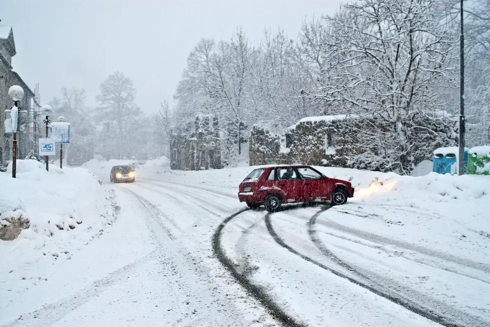
After years of barely dusting off the snowblower, Central New York is making up for lost time this winter—apparently all at once.
Northern Oneida County is buried under several feet of snow and a few more feet may fall this week. The area is under a Lake Effect Snow Warning.
The Southern half of the country doesn't have as much snow, but it's about to get more too.
READ MORE: Mind Boggling Snow Totals From First Massive Storm of 2025 in Central New York

Winter Weather Advisory - Oneida, Madison, Onondaga
The National Weather Service has issued a Winter Weather Advisory from 4 PM today (1/14) to 1 AM Thursday (1/16).
3 to 7 inches of lake effect snow is possible in Madison, Onondaga and Southern Oneida Counties.
READ MORE: Epic Video of Train Powering Through Central New York’s Snow Like A Beast
"Plan on slippery road conditions. The hazardous conditions could impact the Tuesday evening and Wednesday morning and evening commutes."
Lake Effect Snow Warning
A Lake Effect Snow Warning remains in effect until 7 AM Wednesday (1/15) for Northern Oneida & Herkimer Counties.
Heavy lake effect snow is expected to dump between 6 and 14 inches within the most intense snow bands in Oneida and 3 and 8 inches in Northern Herkimer County.
"The highest amounts expected near and north of Route 28."
READ MORE: Slide Into Winter Fun on New York's Longest Toboggan Chute

Utica/Rome Long Range Forecast
Tuesday: A chance of snow showers. Mostly cloudy, with a high near 21. Wind chill values as low as zero.
Tuesday Night: Snow showers likely, mainly after 8 PM. Cloudy, with a low around 15. New snow accumulation of around 2 inches.
Wednesday: A chance of snow showers. Cloudy, with a high near 23. New snow accumulation of around an inch possible.
Wednesday Night: A chance of snow showers before 1 AM. Mostly cloudy, with a low around 15.
Thursday: A slight chance of snow showers. Mostly cloudy, with a high near 26.
Thursday Night: Mostly cloudy, with a low around 18.
Friday: Mostly cloudy, with a high near 34.
Friday Night: Mostly cloudy, with a low around 26.
Saturday: Rain and snow likely. Mostly cloudy, with a high near 39. C
Saturday Night: A chance of snow showers. Mostly cloudy, with a low around 19.
Sunday: Mostly cloudy, with a high near 26.
M.L.King Day: A chance of snow showers. Partly sunny, with a high near 20.

Staggering Snow Totals From First Winter Massive Storm of 2025
Gallery Credit: Credit - Polly McAdams
More From Big Frog 104


