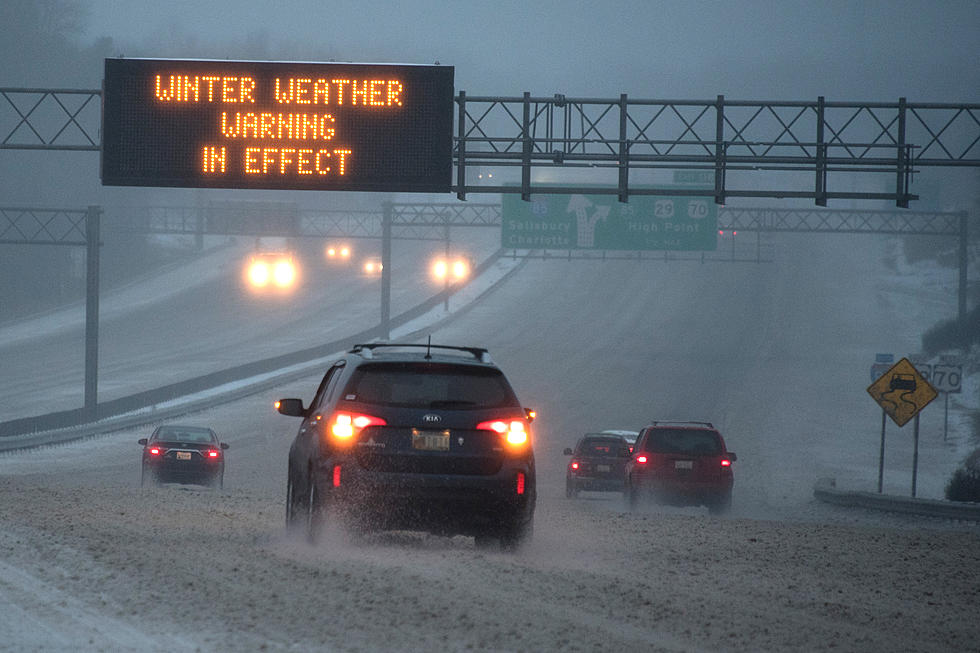
Winter Storm Warning Through Friday Morning 2/14
The storm that dropped snow and ice in the south could turn into a Nor'easter as it arrives. Most of Central New York will be on the outer cusp of the storm, but we may still get our fair share of snow. Enough for the National Weather Service to issue upgrade the Winter Weather Advisory to a Winter Storm Warning.
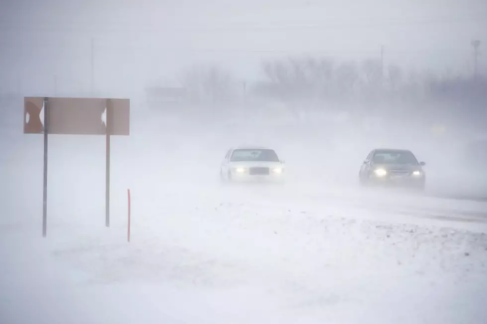
The warning is in effect until 10 a.m. Friday 2/14. Roads may become snow covered and slippery just in time for the drive home late this afternoon. Sounds like a reason to leave early. Here's the National Weather Services' advisory.
* LOCATIONS...TONONDAGA... ONEIDA... MADISON AND CORTLAND COUNTIES IN CENTRAL NEW YORK.
* ACCUMULATIONS..STORM TOTAL ACCUMULATION 6 TO 10 INCHES OF SNOW.
* TIMING...SNOW THROUGH TONIGHT... HEAVY AT TIMES. SNOW WILL TAPER OFF TOWARDS DAYBREAK.
* TEMPERATURES...MAINLY IN THE 20S.
* WINDS...NORTH 10 TO 15 MPH WITH GUSTS UP TO 25 MPH.
* IMPACTS...ROADS WILL BE SNOW COVERED AND SLIPPERY. THE EVENING
COMMUTE COULD BE SIGNIFICANTLY AFFECTED.
SIGNIFICANT AMOUNTS OF SNOW... SLEET... AND ICE ARE EXPECTED
SOURCE: National Weather Service
More From Big Frog 104