The road to recovery is long for those devastated by the Rome tornado, but a fund has been set up to help those with the greatest need and applications are now being accepted.
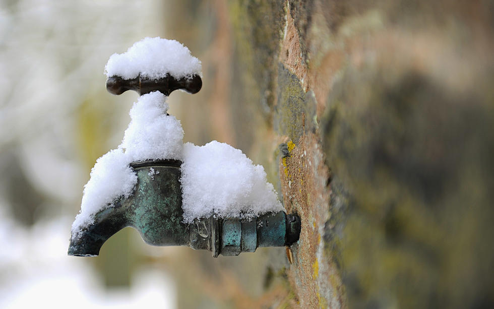
Since Valentine's Day, the Mohawk Valley weather has been up and down, yet we've seen a return to winter. Expect similar weather for the next 10 days with at least one surprise coming this weekend.
Parts of New York City were hit by heavy rains and flash flooding on Friday after heavy rains moved in and continued through the afternoon. Streets and subways overflowed with water in parts of the city creating a traffic nightmare in America's largest city.
What an amazing run of dry and warm weather we've enjoyed over the last several days in Utica-Rome and the Mohawk Valley. Now, as we get set to head into the first weekend of June, prepare for some relief and some precipitation.
I know, we're just recovering from yesterday's storm, but do you remember it's also the 4th anniversary of the massive Utica flood with a tornado in 2017?
The New York State Department of Environmental Conservation has issued an air quality health advisory. Those with respiratory issues are urged to limit strenuous outdoor physical activity.
Scattered rain showers linger today with blustery winds into the afternoon and evening. Rain gradually changes to snow with some light accumulations overnight. Most of Saturday will be dry before a few rain showers move in during the evening.
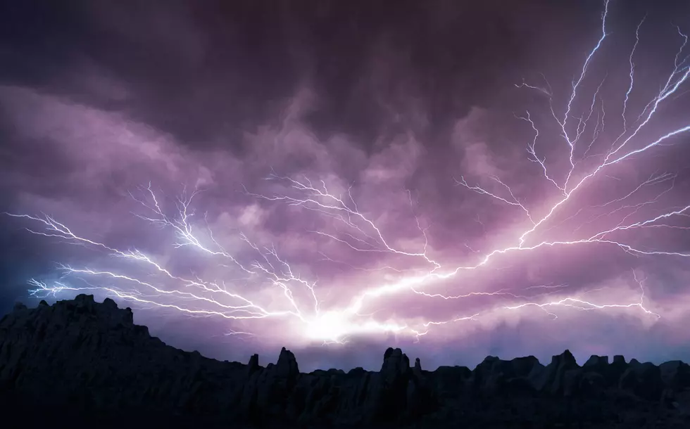
The National Weather Service says we could see some powerful storms roll through Central New York this evening and an isolated tornado cannot totally be ruled out.
The NWS has issued a high-wind watch after a beautiful record-breaking day across Central New York.
Expect stormy conditions with strong gusty winds and a few isolated and severe thunderstorms, especially northeast of NYS Thruway.
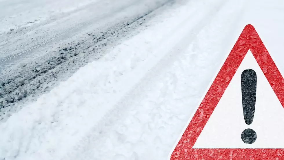
Low pressure moves into CNY early Tuesday morning, bringing a chance for accumulating snow and a wintry mix through Tuesday night. Measurable snowfall is expected with accumulations of 4-6".