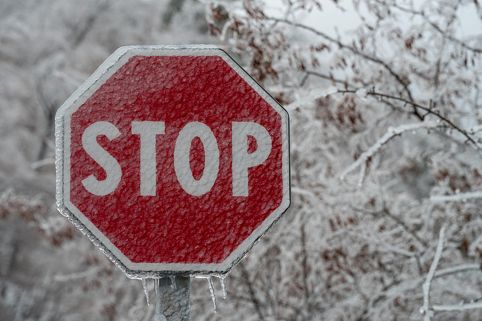
Winter Storm Could Bring 5 Inches Of Snow W/Sleet and Freezing Rain To Utica/Rome
Low pressure moves into CNY early Tuesday morning, bringing a chance for accumulating snow and a wintry mix through Tuesday night. Measurable snowfall is expected with accumulations of 4-6".
The National Weather Service says Tuesday's storm is tracking further north, creating a very challenging forecast since this warm nose (a wedge of above-freezing air that settles above subfreezing temperatures at the surface, causing any snow that falls through it to change to rain) will likely allow the snow to mix or change over to sleet and/or freezing rain.

The northern Finger Lakes Region to the Catskills northward towards the NY Thruway corridor and the southern Tug Hill Region expects 3-5 inches of snow, with locally higher amounts possible as precipitation will remain as snow.

Long Term:
Cold northwesterly flow will keep below normal temperatures. A threat for scattered lake effect snow showers over the region on Thursday as an Arctic airmass plunges into Northeastern NY Thursday night into Friday. Expect colder temperatures into NY and PA and set off additional lake effect snow showers and possibly snow squalls.
Extended Forecast:
Today: Mostly sunny, with a high near 27. Calm wind becoming west around 5 mph.
Tonight: Mostly cloudy, with a low around 17. Calm wind becoming east around 5 mph after midnight.
Tuesday: Snow, mainly after 11am. High near 27. East wind 6 to 11 mph. Chance of precipitation is 80%. New snow accumulation of around 2 inches.
Tuesday Night: Snow likely, mainly before 1am. Mostly cloudy, with a low around 18. East wind 5 to 9 mph becoming calm after midnight. Chance of precipitation is 70%. New snow accumulation of around 2 inches.
Wednesday: A chance of snow before 1pm. Partly sunny, with a high near 26. Calm wind becoming west around 5 mph in the afternoon. Chance of precipitation is 30%.
Wednesday Night: Mostly cloudy, with a low around 10.
Thursday: A chance of snow showers after 1pm. Mostly cloudy, with a high near 23. Chance of precipitation is 30%.
Thursday Night: A chance of snow showers. Mostly cloudy, with a low around 6. Chance of precipitation is 30%.
Friday: A chance of snow showers before 1pm. Partly sunny, with a high near 14. Chance of precipitation is 30%.
Friday Night: Partly cloudy, with a low around 1.
Saturday: Partly sunny, with a high near 19.

Keep Up-To-Date
Take us everywhere you go with our new App. Listen live with all of your favorite shows with fewer commercials. The new app lets you call, message or tweet at us anytime or send us photos and videos. The app also gives you the ability to receive notifications about breaking news, weather alerts, traffic advisories and school closings happening in and around Central New York.
Winter Weather Preparation:
- Keep your cell phone charged and make sure you know where your backup power supply is.
- Make sure all your flashlights have fresh batteries.
- Fill your gas tank. You can use your car to keep warm and recharge devices.
- Have some food available that you don’t need to cook.
**FOR POWER OUTAGES:
Get up to information on power outages throughout Central New York; where it’s out and when it’ll be restored with National Grid’s Power Outage Map.
National Grid also offers text alerts on the latest efforts to restore power.
To receive free text message alerts and updates, text the word STORM to NGRID (64743). E-mail alerts are available to customers who create an online profile on the company’s website. All alert services can be started and stopped at the customer’s request.
You can even report power outages or get the latest information at National Grid’s website.
TIPS: Here's how you can prepare for power outages
More From Big Frog 104