Part of NY Thruway & I-81 Among Several Roads Closed During Major Storm
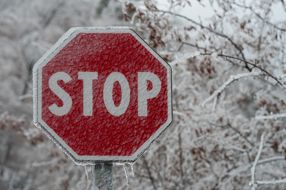
The first snow-related road closures of the season have arrived along with the first state of emergency.
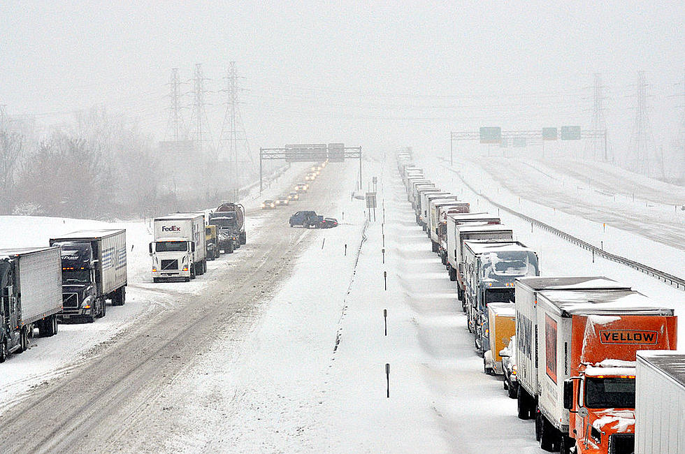
The major snowstorm hitting the western and northern parts of New York is closing a number of roads to commercial traffic including the Thruway and Interstate 81. Other drivers may want to avoid driving if at all possible too. Especially in the hardest-hit areas of the state.
The ban goes into effect on Thursday, November 17 at 4 PM.
Full Commercial Vehicle Ban
I-90 - Exit 46 (Rochester – Corning – I-390) to Exit 61 (Ripley – Shortman Road)
Interstate 190 - Route 62 to I-90
Interstate 290 - full length
Interstate 990 - full length
Route 33 - full length
Route 219 - Route 39 to I-90
Route 400 - full length
Buffalo Skyway Route 5 - full length
I-81 - Exit 33 to Canadian border - trucks use right lane only
To find the latest traffic and travel conditions, call 511, visit 511NY.org or download the free 511NY mobile app. Thruway updates and road conditions can be found at Thruway.ny.gov.

Warnings, Watches & State of Emergency
Lake Effect Snow Warning and Winter Storm Watches are in effect through Sunday evening in the Western New York, Finger Lakes, Central New York, and North Country regions.
Governor Kathy Hochul is declaring a State of Emergency.
"Parts of Western New York, the Finger Lakes, Central New York and the North Country are about to get their first snowstorm of the season, which means we need everyone in these impacted regions to be ready for dangerous travel conditions," Governor Hochul said. "My team and I are deploying emergency response assets ahead of the storm, remain in constant contact with local officials, and are laser focused on the forecast. New Yorkers should remain vigilant ahead of the storm and avoid any unnecessary travel during these hazardous conditions."
Southern Oneida County Snow Advisory
A Lake Effect Snow Advisory is in effect for Southern Oneida County until 2 AM Friday, November 18.
Total snow accumulations of 3 to 6 inches. The highest snow accumulations will be north of the Thurway and could approach 7 inches in some spots.
Northern Oneida County Snow Warning
A Lake Effect Snow Warning is in effect for Northern Oneida County until 2 AM Friday, November 18. 7 to 14 inches is anticipated.
The highest snow accumulations may reach up to 16 inches north of Camden.
3 Feet in Watertown - Jefferson County
If you're heading north, travel could be next to impossible. 2 to 3 feet is expected in Jefferson County from November 18 through November 20.
Heavy lake effect snow expected. Total snow accumulations of 2 to 3 feet in the most persistent lake snows. The most snow will occur across the northern half of the county from the Watertown area and Fort Drum to Philadelphia.
4 Feet in Buffalo - Erie County
The storm will be even worse to the west. 2 to 3 feet could fall in Erie County, especially in the most persistent lake snows. The heaviest snow is expected late Thursday night through Friday night when snowfall rates could exceed two inches per hour.
Total snow accumulations of 2 to 4 feet in the most persistent lake snows. Snowfall rates could exceed 3 inches per hour.
22 Things You'll Never Understand Until You Survive a CNY Winter
Gallery Credit: Credit - Polly McAdams
18 Things You Need to Experience During a New York Winter Before You Die
Gallery Credit: Credit - Polly McAdams
More From Big Frog 104