Hi Spring, Bye Spring: Heavy Snow Could Hit CNY This Weekend
Yesterday may have been the first day of spring, and like always here in Central New York - we should've seen this coming. The National Weather Service announced a Winter Storm Warning yesterday, and have since then provided more details.
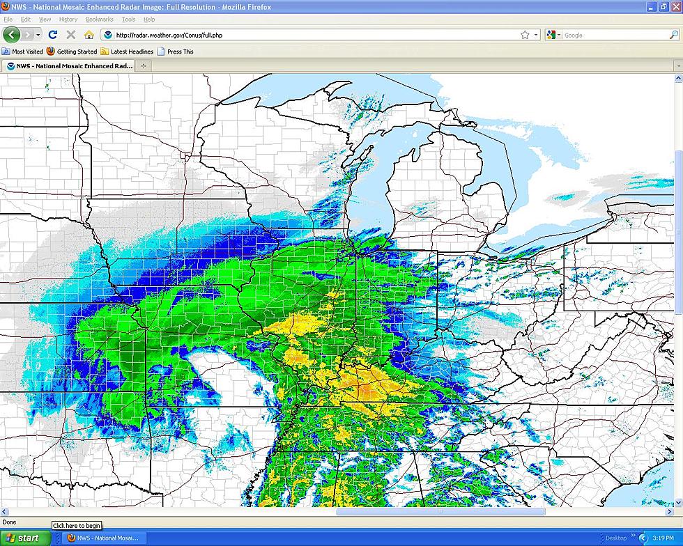
"A system approaching from the west will cause mainly rain to develop today. However, the system will merge with a coastal storm tonight into Friday, including potential for accumulating snow at higher elevations, and a rain snow mix in the valleys. Colder air and gusty winds are expected later Friday into early Saturday, with possible additional snow accumulation," according to the NWS.
Here's what you should expect:
...WINTER STORM WATCH NOW IN EFFECT FROM LATE TONIGHT THROUGH
SATURDAY MORNING...
* WHAT...Heavy snow possible. Total snow accumulations of 5 to
10 inches possible. Winds could gust as high as 35 mph
creating areas of blowing and drifting snow Friday night.
* WHERE...Northern Oneida, Southern Cayuga, Onondaga, Madison,
Southern Oneida, Cortland, Chenango and Otsego counties.
* WHEN...From late tonight through Saturday morning.
* ADDITIONAL DETAILS...Plan on slippery road conditions. The
hazardous conditions could impact the Friday evening commute.
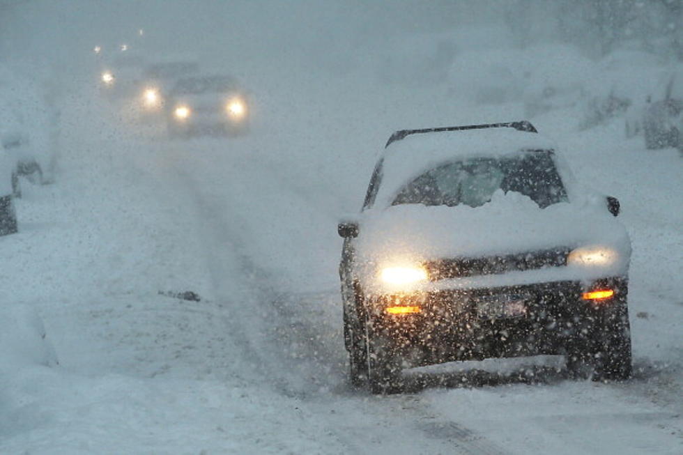
A Winter Storm Watch means there is potential for significant snow, sleet or ice accumulations that may impact travel. We'll keep you updated as we hear more.
Winter Weather Preparation:
- Keep your cell phone charged and make sure you know where your backup power supply is.
- Make sure all your flashlights have fresh batteries.
- Fill your gas tank. You can use your car to keep warm and recharge devices.
- Have some food available that you don’t need to cook.
- Download the BIG FROG 104 APP. You’ll receive local alerts, weather reports and more with push notifications.
More From Big Frog 104