Google Maps Wrong Turn Sends New York Hikers to Vermont
Google Maps wrong turn sends New York hikers to Vermont. We've all had the map experience that sends you in the wrong direction. Usually, a trip around the block solves the problem, but for 5 lost hikers, it took Forest Rangers with the New York Department of Environmental Conservation, police and fire departments from 3 states to get them to their destination.
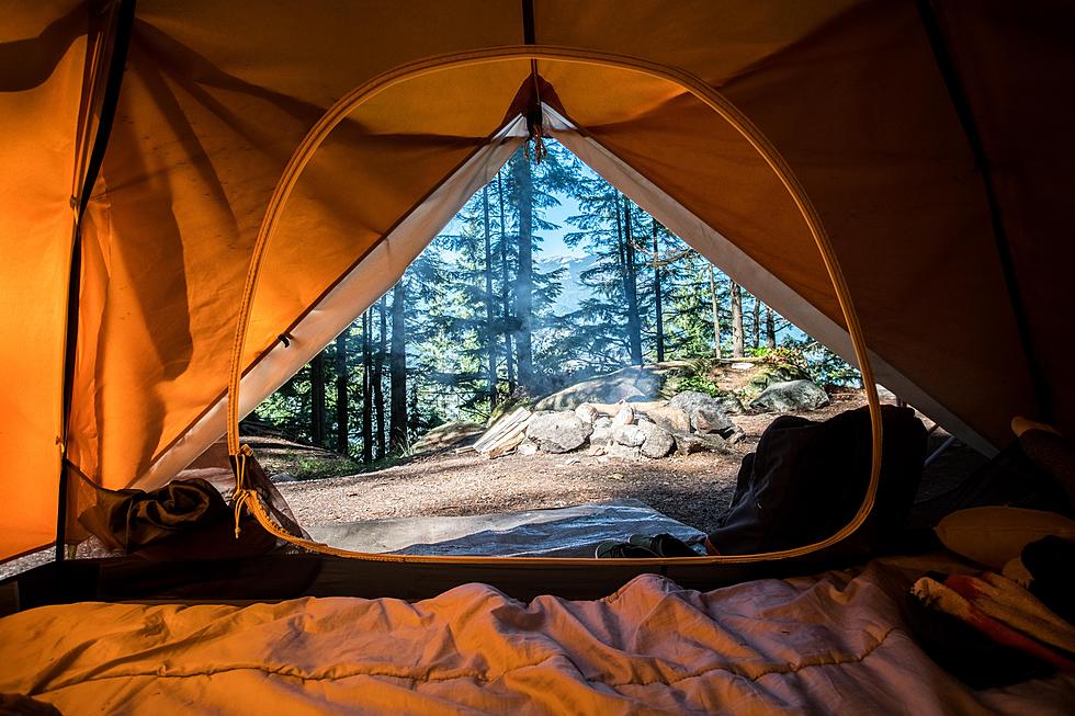
The hikers were taking a trek on the Taconic Ridge in the Petersburgh Pass area. The trail borders New York, Vermont, and Massachusetts for 30+ miles. Using Google Maps for navigation, probably not a good idea in the forest, they got incorrect information on a trail turn. The turn sent them east into the other two states.

Forest Rangers were dispatched at about 3 in the afternoon, to the Petersburgh Pass area to begin the search. With assistance from the Grafton and Petersburgh fire departments, New York State Police, Williamstown, Massachusetts fire, and Pownal, Vermont fire they finally located the hikers two-and-a-half hours later at a lean-to in the Hopkins Memorial Forest.

One hiker was unable to hike out because of leg cramps that Rangers speculated was caused by dehydration. Searchers assisted the group down the mountain to Krum Hill Road in Vermont. In all, it was a 5-hour ordeal that ended with them back to their vehicles at Petersburgh Pass at 8 p.m.
The incident has the DEC reminding hikers of basic hiking safety tips. Even if you're hiking in the daytime, take a flashlight just in case. Put a bottle of water and a healthy snack in a backpack too. The DEC has other hiking safety tips that may not seem so obvious but could be vitally important in an emergency.
SOURCE: New York Department of Environmental Conservation
BONUS VIDEO:
More From Big Frog 104