Central New York Goes From Snow Squalls to Killing Freeze
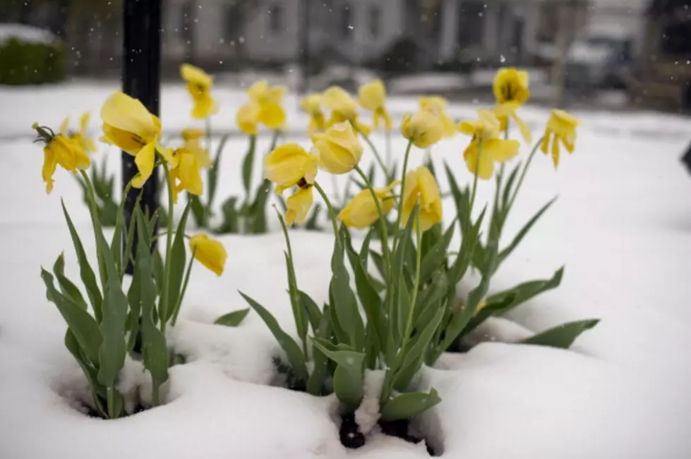
This does seem more like a Central New York winter than spring time. The only time it doesn't snow is when it's cold. The National Weather Service has issued a freeze warning which will likely kill crops and sensitive vegetation. Even worse, it probably won't be a one day phenomenon.
...FREEZE WARNING IN EFFECT FROM 11 THIS EVENING TO 10 TOMORROW MORNING TUESDAY...
* WHAT...Sub-freezing temperatures as low as 25 expected.
* WHERE...Northern Oneida, Yates, Steuben, Schuyler, Chemung, Tompkins,
Madison, Southern Oneida, Cortland, Chenango, Otsego, Tioga, Broome, Delaware and Sullivan counties.
* WHEN...From 11 PM this evening (5/11/20) to 10 AM (5/12/20).
* IMPACTS...Frost and freeze conditions will kill crops, and other sensitive vegetation.
Winds gusting as high as 20 to 25 mph, will even bring the term "wind chill" back into play. Monday night into Tuesday morning temperatures will feel like the teens for a large portion of the forecast area. A few Lake Effect snow showers will even be possible in the usual areas. The dark purple in the map below represents the freeze warning area, the lighter shade covers frost advisory areas.
Tuesday night into Wednesday morning will likely create another freeze warning as temperatures again drop near 30. There's even an off chance again on Wednesday into Thursday.
The good news this should be the precursor to a run of 70 degree days and 50 degree overnights for several days.

KEEP READING: Creative Ways to Bring Joy to Your Neighborhood While Social Distancing
More From Big Frog 104