Winter Storm Watch in Central New York With Up To 20 Inches Of Snow Possible
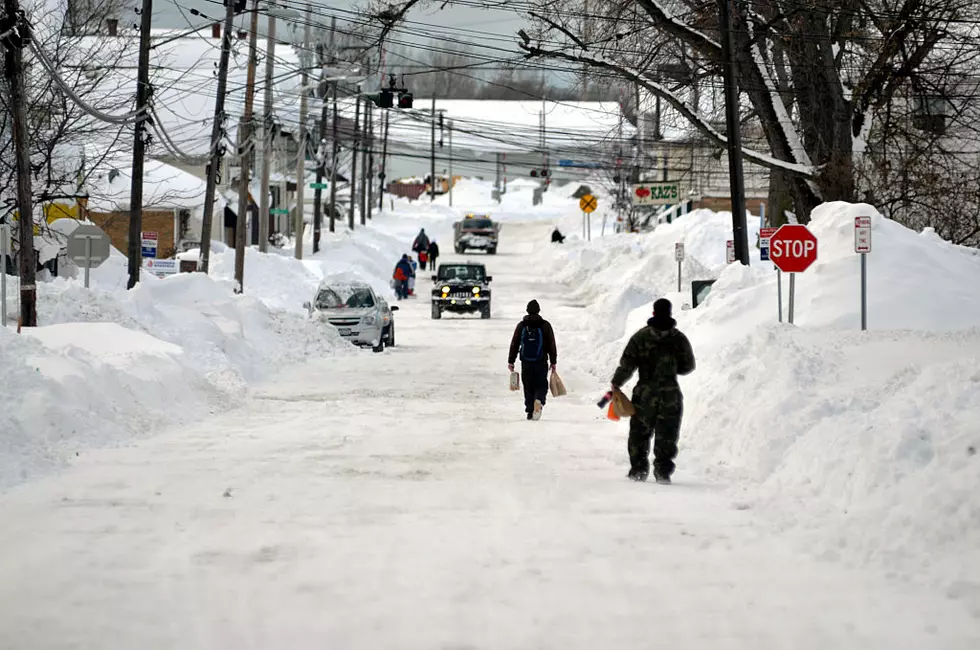
The Winter Storm we've been hearing about now has a name and an accumulation number. The National Weather Service says 'Harper' will bring 12 to 20 inches of snow and just for added fun, strong winds. Here's what we know.
WHAT... Heavy snow possible. Total snow accumulations of 12 to 20 inches possible. Snowfall rates may reach 1 to inches per hour. Winds could gust as high as 35 mph.
WHEN... Winter Storm Watch from Saturday afternoon (1/19) thru Sunday afternoon (1/20).
WHERE... In New York, Northern Oneida, Yates, Seneca, Southern Cayuga, Onondaga, Steuben, Schuyler, Chemung, Tompkins, Madison, Southern Oneida, Cortland, Chenango, Otsego, Tioga, Broome, and Delaware counties. In Pennsylvania, Bradford, Susquehanna, Northern Wayne, and Wyoming counties.
There is still a lot unknown about the storm, Harper. The news you'll be hearing about heavy rains in California is Harper hitting land. It'll blow thru the Plains and Midwest states on the way to Central New York. We may see a bigger impact with moisture from the gulf joining the storm. Even areas missing the snow will be in a battle with sleet and freezing rain.
It'll be followed by arctic temperatures with dangerous wind chills Sunday with lows well below zero.
Exact snow and ice amounts may change between now and Saturday afternoon. However, more than foot is likely across the region.
Get the snowblowers ready.
Winter Weather Preparation:
- Keep your cell phone charged and make sure you know where your backup power supply is.
- Make sure all your flashlights have fresh batteries.
- Fill your gas tank. You can use your car to keep warm and recharge devices.
- Have some food available that you don’t need to cook.
- Download the STATION App. You’ll receive local alerts, weather reports and more with push notifications.
More From Big Frog 104