Will Central New York See A Lot Of Snow This Week?
Winter storm watches have been issued for Tug Hill and Western New York already for this week. What will it mean for Central New York?
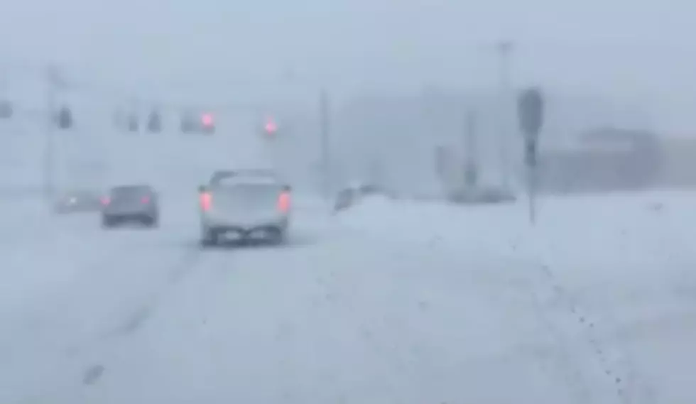
The National Weather Service is reporting that a blast of Arctic air expected to arrive Wednesday could generate a long-lasting lake effect snow storm that could dump up to 2 feet of snow in some areas. Where will this snow fall?
The heaviest snow is likely to fall in Wyoming, Chautauqua, Cattaraugus, and southern Erie counties in Western New York, with up to 2 feet in the lake effect snow bands that persist the longest. Up to 18 inches are possible in the Tug Hill counties of Lewis and Jefferson, with lower amounts in Oswego County."
EyeWitness News Chief Meterologist Rachael Witter predicts most of the snow will stay in the Tug Hill region, but we could see some flurries here in Central New York.
Syracuse.com is currently reporting that these snow showers could reach into Finger Lakes and along the Thruway in Central New York but "accumulations, if any, will be nominal."
BONUS VIDEO
More From Big Frog 104