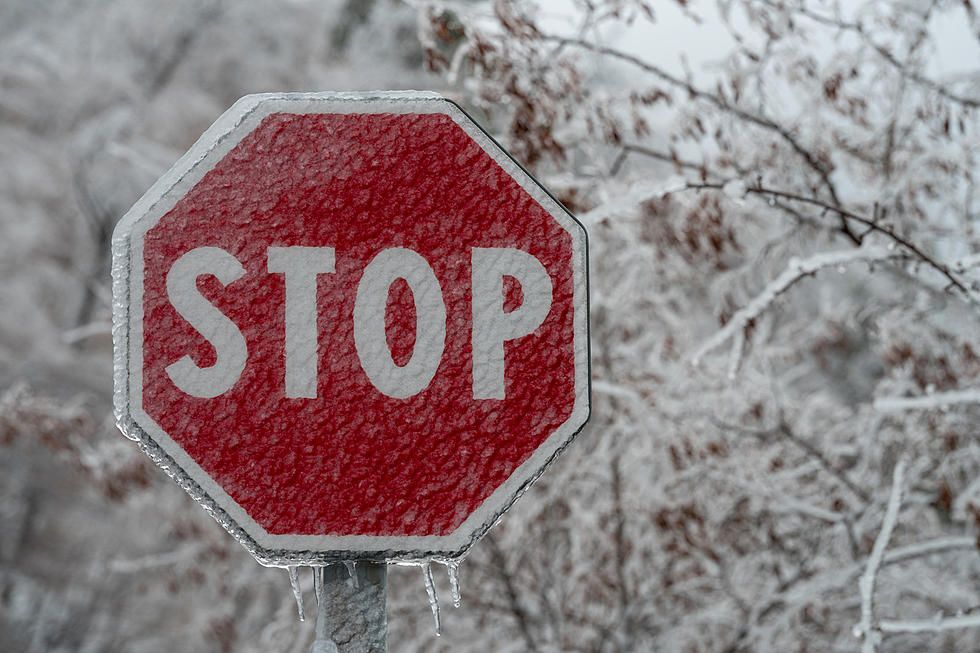
Up to 7 Inches of Snow on the Way in Central New York
Another winter storm is in the way in Central New York. The National Weather Service has issued a Lake Effect Snow Watch from Thursday evening through Friday morning.
LAKE EFFECT SNOW WATCH - THURSDAY EVENING THROUGH FRIDAY MORNING
* LOCATIONS...Onondaga, Madison, Oneida Counties
* ACCUMULATIONS...Potential for over 7 inches.
* TIMING...Expect a band of heavy lake effect snow to set up near the Interstate 90 corridor late Thursday evening and persist through Thursday night before weakening Friday morning.
* IMPACTS...The heavy snow could make travel dangerous. Roads could become snow covered and hazardous. Considerable blowing and drifting snow will also be possible along with significantly reduced visibilities.
* WINDS...Northwest 10 to 20 mph with gusts up to 30 mph.
* TEMPERATURES...In the teens.
BONUS VIDEO
More From Big Frog 104