
Extreme Cold and Lake-Effect Snow Target New York
Central and upstate New York are bracing for some serious weather as Winter Storm Watches and Warnings are in effect across parts of New York. Snow, lake-effect bands, and seriously cold temperatures are on the way.
Heavy Snow Expected in Tug Hill Region
In the Tug Hill region and eastern Lake Ontario area — places that already see some of the deepest lake-effect snow in the state — the forecast looks especially intense.
Heavy snow bands could drop 2–3 feet MORE in persistent bands over the Tug Hill Plateau.
Blowing and drifting snow with winds gusting near 40 mph could make travel very difficult to near impossible at times.

Snow Spreads Across Central and Upstate New York
This isn’t just a few flurries. Even away from the lake effect belts, snow chances are high across Central and upstate regions, with several inches likely through the weekend.
Additional snow accumulations will pile up as bands shift and restart through Sunday and into early next week.

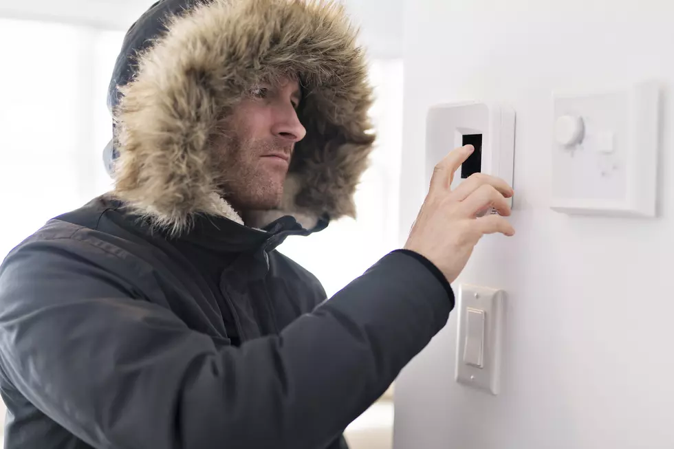
Bitter Cold Moves In
And it won’t feel like spring anytime soon. Bitter cold will settle in behind these systems.
Forecast lows in parts of upstate and the North Country could dip well below zero, with wind chills making it feel dangerously cold (-10 to -30) — the kind of conditions that can lead to frostbite on exposed skin in minutes.
READ MORE: How to Stay Safe and Warm in Extreme Cold Weather
Preparing for Travel and Safety
That combination — heavy snow, wind, and extreme cold — will make Saturday and Sunday a challenge for travel, outdoor plans, and even pets or pipes outside.
The National Weather Service and state officials urge New Yorkers to prepare now: stock up on supplies, check on neighbors, and avoid unnecessary travel when snow bands are most intense.
Easy Ways to Make Sure Your Vehicle is Ready for Winter Travel and Cold Conditions
Gallery Credit: JD Knight
More From Big Frog 104


