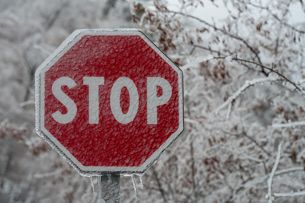
Snow, An Inch Per Hour, and Icy Roads Could Make For a Hazardous Commute
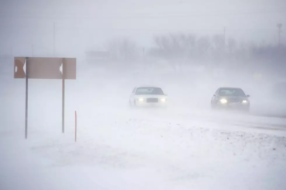
The ride home could be a hazardous one. Snow, an inch per hour at times, and freezing drizzle is expected in central New York.
The National Weather Service has issued a Winter Weather Advisory from 11am to 7am Wednesday in Northern Oneida, Otsego, Madison and Southern Oneida counties. 4 to 6 inches of snow is expected in the cities of Boonville, Hamilton, Oneida, Rome, Utica, and Oneonta.
A band of steady light snow will lift across the region this morning, and stall out along or just north of the New York State Thruway in the early afternoon. Snowfall rates will increase to around 1 inch per hour at times this afternoon. The snow will taper off through the evening before diminishing even more overnight.
Freezing drizzle and rain will accumulate over most of central New York this afternoon. Up to 1/4" is possible in some locations, causing slippery road conditions tonight and tomorrow morning.
Another round of winter is expected later in the week. The National Weather Service says a very cold and blustery Arctic airmass will push into the area Thursday and Friday, likely bringing below zero wind chills, acattered lake effect snow showers and snow squalls.

Today: Snow, mainly after noon. High near 25. East wind 6 to 13 mph. Chance of precipitation is 100%. Total daytime snow accumulation of around 3 inches.
Tonight: Snow. Low around 25. East wind 5 to 11 mph. Chance of precipitation is 100%. New snow accumulation of around 2 inches.
Wednesday: A chance of snow. Cloudy, with a high near 28. Chance of precipitation is 30%. New snow accumulation of less than a half inch possible.
Wednesday Night: A slight chance of snow before 7pm, then a chance of snow showers, mainly after 1am. Mostly cloudy, with a low around 14. Chance of precipitation is 30%. New snow accumulation of less than a half inch possible.
Thursday: A slight chance of snow showers. Mostly cloudy, with a high near 18. Chance of precipitation is 20%.
Thursday Night: A chance of snow showers. Mostly cloudy, with a low around 1. Chance of precipitation is 30%.
Friday: A chance of snow showers. Partly sunny and cold, with a high near 9. Chance of precipitation is 30%.
Friday Night: Mostly cloudy, with a low around -1.
Keep Up-To-Date
Take us everywhere you go with our new App. Listen live with all of your favorite shows with fewer commercials. The new app lets you call, message or tweet at us anytime or send us photos and videos. The app also gives you the ability to receive notifications about breaking news, weather alerts, traffic advisories and school closings happening in and around Central New York.
Winter Weather Preparation:
- Keep your cell phone charged and make sure you know where your backup power supply is.
- Make sure all your flashlights have fresh batteries.
- Fill your gas tank. You can use your car to keep warm and recharge devices.
- Have some food available that you don’t need to cook.
**FOR POWER OUTAGES:
Get up to information on power outages throughout Central New York; where it’s out and when it’ll be restored with National Grid’s Power Outage Map.
National Grid also offers text alerts on the latest efforts to restore power.
To receive free text message alerts and updates, text the word STORM to NGRID (64743). E-mail alerts are available to customers who create an online profile on the company’s website. All alert services can be started and stopped at the customer’s request.
You can even report power outages or get the latest information at National Grid’s website.
TIPS: Here's how you can prepare for power outages
More From Big Frog 104