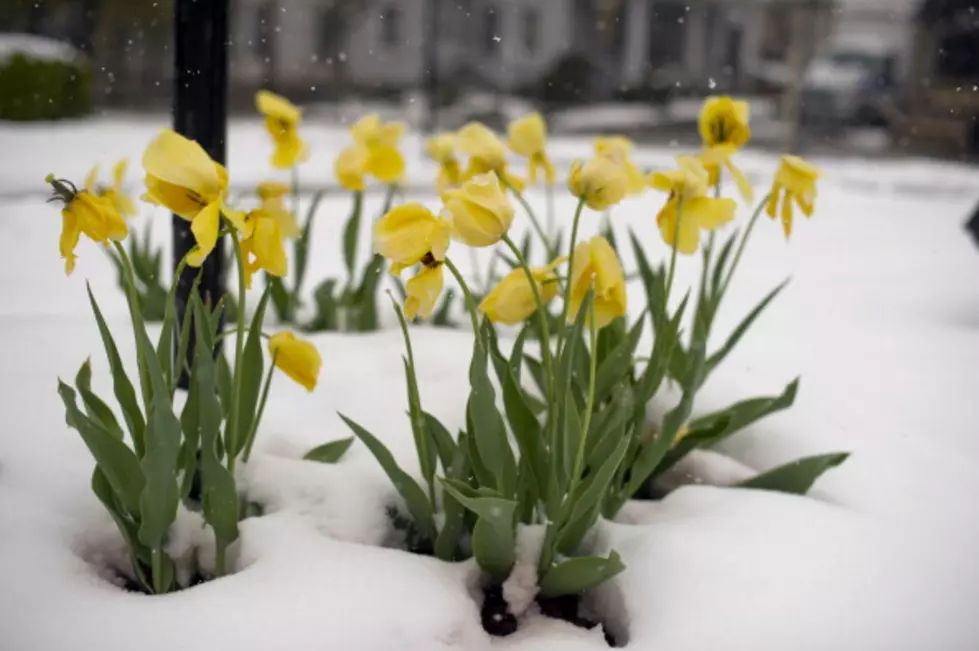
More F#&@$*% Snow in Central New York 3 Weeks Into Spring
We're almost three weeks into Spring but you wouldn't know it in central New York where it's been cold, with below normal temperatures and piles of snow still linger. To rub salt in the wound, Mother Nature is bringing more of the freakin' white stuff.
Steady light snow will reach the New York Thruway corridor from Syracuse to Utica around 9-10 this morning, for a perfect way to end the work week. It'll mix with rain by lunchtime except in the higher elevations, according to the National Weather Service.
Up to an inch and a half of snow is expected, with 2 to 4 inches in the higher elevations. The good news is, it should melt as temperatures reach the 40s this afternoon. But just seeing snow 3 weeks into Spring is depressing. Enough already!
Wait, there's more. A weak lake effect snow band develops over Onondaga, Madison and Oneida counties late tonight with another half to one inch of snow early Saturday near Syracuse, Camden, Rome and Boonville.
Snow will continue throughout Saturday with just under an inch in northern Seneca-central Cayuga-Onondaga-northern Cortland-Madison-Oneida counties; isolated spots 1-2 inches.
Any snow still on the ground will melt Sunday with temps near 40. 50 degree weather is coming. It looks like it'll start to warm up late next week. Let just hope it stays around for awhile; like 2 or 3 months.
BONUS VIDEO
More From Big Frog 104


