
More Freaking Snow in Central New York – Up to 2 Feet!
There's snow and then there's what we've seen this winter in Central New York.
The staggering amounts that have fallen in the past two months is starting to hamper life. Roofs are collapsing under the weight. Plows are running out of room where to put it all.
Enough already!
Sure, snow is great for winter enthusiasts who like to ski, snowboard, snowmobile or just have fun in all that white stuff. Especially since we haven't seen much of it over the last several years.
READ MORE: Snowiest Central New York Town This Month Nears 80 Inches
But now it's starting to get out of hand with the non stop storms. There's no time to shovel before more starts to fall.

Lake Effect Snow Warning
A Lake Effect Snow Warning is in effect until 6 AM Wednesday, February 19 for most of Central New York.
The National Weather Service says anywhere from 8 to 15 inches could fall in Oneida County and up to 2 feet is possible in Oswego County. That's in addition to the 35 MPH wind gusts creating whiteout conditions and negative wind chills.
"Travel will be very difficult to impossible. Areas of blowing snow will significantly reduce visibility."
Mother Nature should calm down by Thursday and give us a break from the snow and cold temperatures by the weekend.
READ MORE: One Upstate New York Town Has 300 Inches of Snow For First Time in Five Years
Long Range Utica/Rome Forecast
Tuesday: Snow showers. Patchy blowing snow between noon and 2 PM. High near 17. Wind chill values as low as -10. Wind gusts up to 35 mph. New snow accumulation of around 4 inches.
Tuesday Night: Snow showers likely, mainly before 11 PM. Mostly cloudy, with a low around 4. Wind chill values as low as -6. Wind gusts as high as 23 mph. CNew snow accumulation of around 2 inches.
Wednesday: A slight chance of snow showers after 3 PM. Mostly cloudy, with a high near 18. Wind chill values as low as -7.
Thursday: A chance of light snow after 1 PM. Mostly cloudy, with a high near 21.
Friday: Mostly cloudy, with a high near 21.
Saturday: Mostly cloudy, with a high near 29.
Sunday: Mostly cloudy, with a high near 34.
Monday: Mostly cloudy, with a high near 38.

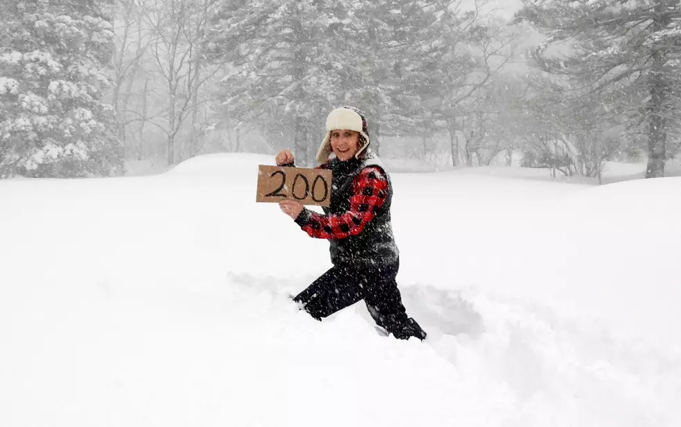
Staggering Snow Totals From First Winter Massive Storm of 2025
Gallery Credit: Credit - Polly McAdams
More From Big Frog 104


