Remembering the Snowstorm That Buried Buffalo Two Years AGo
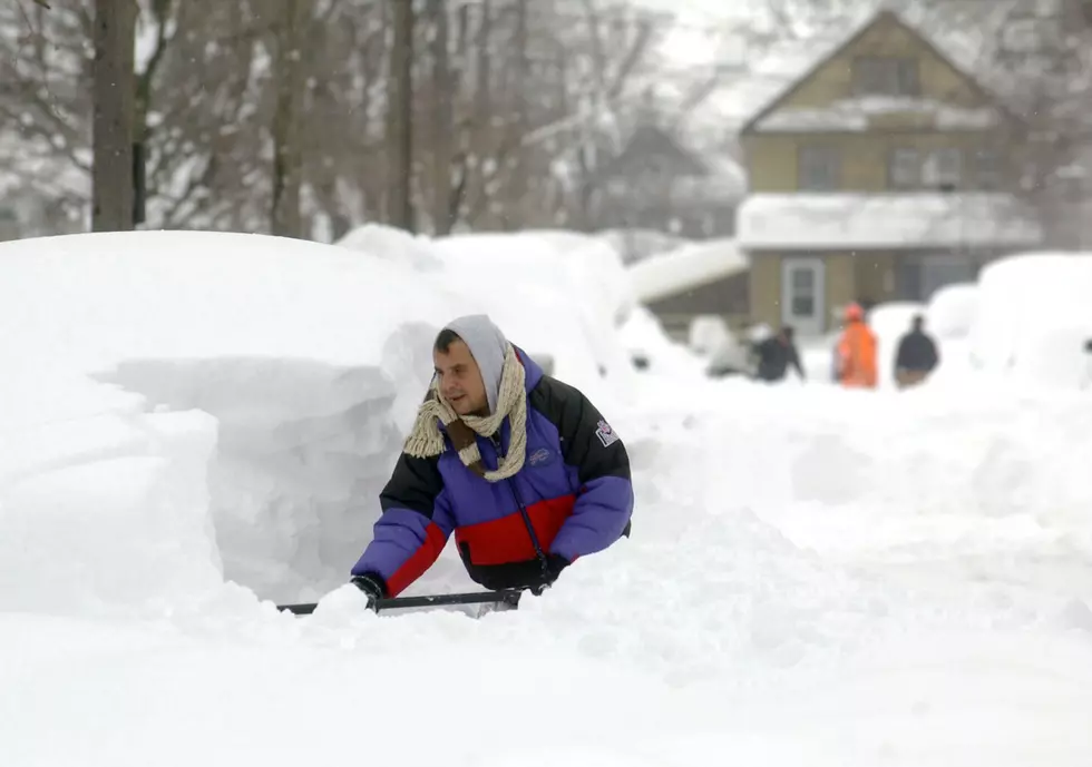
They nicknamed November 2014 as "Snowvember," as areas of Buffalo and Western New York were completely buried in snow. Today, we take a look back...
November 13, 2014 a winter storm system began forming on the western side of the United States, just off the coast of Oregon. Over the next few days, this storm system would make its way across the country dropping snow from the Rockies, to the Midwest and Great Lakes Region, to the Northeast States, but no place would be hit as hard as Western New York.
On Monday, November 17th a "Major Lake Effect Snow Event" was in the forecast for Tug Hill, Western New York, and the areas along Lake Ontario. At the time, the National Weather Service in Buffalo was calling for about 2-and-a-half feet of snow for places like Lowville and Watertown, and about 2 feet of snow for Buffalo and the surrounding area.
By the time the massive snowstorm finished wreaking havoc on the western side of New York, Buffalo and the surrounding area would be buried in more than 60 inches of snow. Snowfall totals ranged between 5 and 7 feet throughout the region, with Cowlesville, New York reporting the most snowfall at 88 inches!
The snowstorm caused the New York State Thurway to completely shut down from Rochester to Ripley - And a travel ban was put in place. Many drivers ended up stranded on I-90. The heavy weight of the snow caused roofs to collapse, windows to break, and area schools were closed for more than a week as plows tried to clear the snow. You can see some of the unbelievable pictures from the storm here.
It was definitely a historic storm that no one will be forgetting any time soon. You could still find piles of snow throughout Buffalo and the surrounding area 8 months after the snowstorm! Where were you when the storm hit? Did it affect you or someone you know who lives or was traveling through Buffalo? We want to hear about it! Leave us a message in the "comments section" at the bottom of this page.
More From Big Frog 104


