Round Two? Another ‘Impactful’ Winter Storm Heading to Central New York
Round two? Another winter storm is on the way to Central New York to wrap up the work week and it could be one sloppy mess.
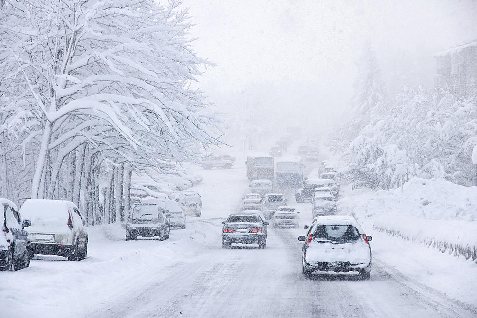
We dodged a bullet with the latest winter storm. Snow accumulations were a lot less than first predicted, with most areas only seeing a few inches. But the National Weather Service says there is the potential for another impactful winter storm Friday into Saturday.
Weekend Winter Storm
The Friday morning commute should be fine but the ride home could be tricky. Precipitation is predicted to move into Central New York around midday. And we may see a bit of everything - snow, sleet, and freezing rain.
Conditions will be cold enough for snow initially, but conditions become messy quickly.
The storm should move northward across the region throughout the day with the wintry mix possibly becoming just rain late Friday night. Snow is expected to continue through the weekend though.
There are uncertainties with this system, so totals will change as details continue to get worked out throughout the rest of the week.
If snow, sleet, and freezing rain aren't enough, strong, gusty winds are also expected, leading to blowing snow and blustery conditions.
Long Range CNY Forecast
Wednesday: A slight chance of rain and snow showers before 1 PM, then rain showers likely. Cloudy, with a high near 41.
Wednesday Night: A chance of rain, snow, and sleet before 10 PM, then rain likely. Cloudy, with a low around 34.
Thursday: A chance of rain showers before 4 PM, then a slight chance of snow showers. Cloudy, with a high near 41.
Thursday Night: Mostly cloudy, with a low around 20.
Friday: A slight chance of snow showers before 1 PM, then rain and snow showers likely. Mostly cloudy, with a high near 35.
Friday Night: Rain and snow showers. Low around 30. Breezy.
Saturday: Rain and snow showers likely, mainly before 1 PM. Cloudy, with a high near 38.
Saturday Night: A chance of rain and snow showers before 1 AM, then a chance of snow showers. Cloudy, with a low around 28.
Sunday: A chance of snow showers. Cloudy, with a high near 35.
Monday: Mostly cloudy, with a high near 37.
Tuesday: Mostly cloudy, with a high near 35.
LOOK: The most expensive weather and climate disasters in recent decades
Gallery Credit: KATELYN LEBOFF
KEEP READING: Get answers to 51 of the most frequently asked weather questions...
More From Big Frog 104