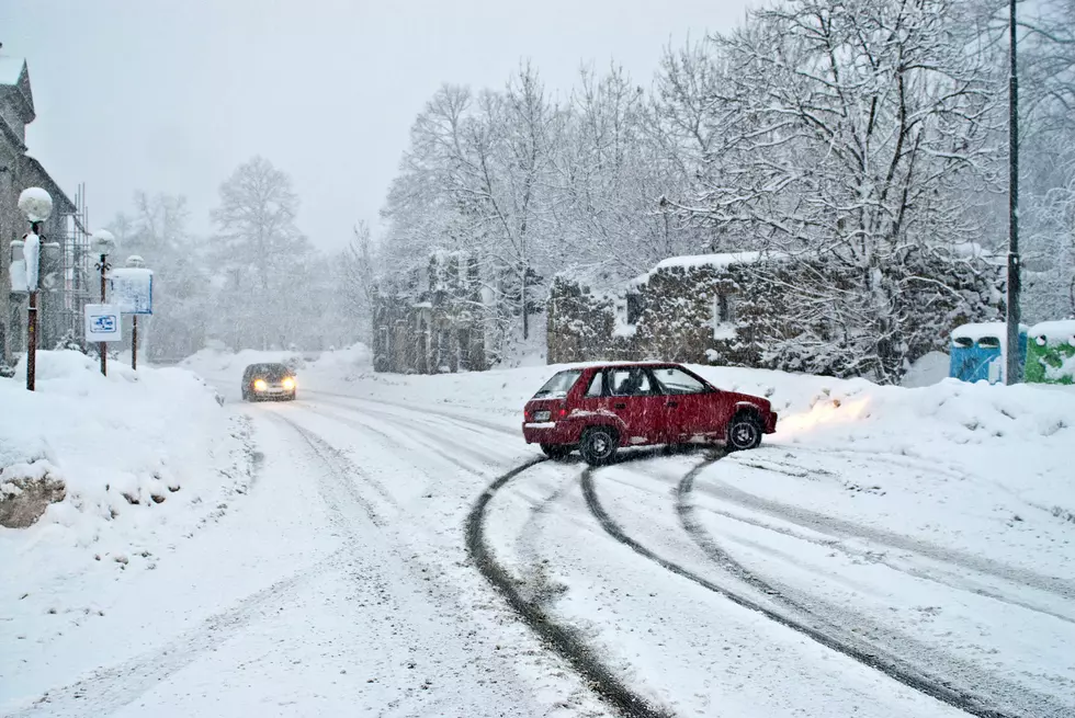
40 MPH Winds, Freezing Rain, Snow Squalls And Frigid Temperatures In CNY
The National Weather Service (NWS) out of Binghamton is calling for a passing cold front on Wednesday will bring more snow showers, snow squalls,
seasonably cold weather and gusty winds over 40 MPH.
Cold air moving into the area tomorrow have temperatures falling between -15 to -18C late in the day. There will be scattered to numerous snow showers around the region, and forecast soundings indicate favorable parameters for snow squalls.
At this time it does not appear to be one long, intact snow squall, but rather scattered smaller squalls with surrounding weaker snow showers. Temperatures will remain steady or slowly fall through the 20s areawide on Wednesday...therefore temperatures will be colder than our last snow squall event. This means there could be even lower visibility and roads will quickly become snow and ice-covered...even in the valleys/lower elevations...from 8am to 5pm...Late in the day the snow showers and squalls transition to more of a lake effect snow band regime...with 2 to 4" and locally higher across Onondaga, Madison and Oneida counties. [NWS]
Another main story Wednesday will be the winds. Expect strong west-northwest winds between 15 to 25 mph, with gusts up to 40 mph to develop in the afternoon. This will cause additional areas of blowing/drifting snow and increase the strength of the snow squalls.
Extended CNY Forecast:
Today: Mostly cloudy, with a high near 35. Calm wind becoming south around 6 mph in the afternoon.
Tonight: A slight chance of light snow between midnight and 2am, then a chance of snow showers after 2am. Cloudy, with a low around 27. Light and variable wind becoming southwest 5 to 7 mph after midnight. Chance of precipitation is 30%. New snow accumulation of less than a half inch possible.
Wednesday: Snow showers. The snow could be heavy at times. Areas of blowing snow after 9am. High near 29. Breezy, with a west wind 13 to 21 mph, with gusts as high as 36 mph. Chance of precipitation is 80%. New snow accumulation of around an inch possible.
Wednesday Night: A chance of snow showers before 2am. The snow could be heavy at times. Mostly cloudy, with a low around 8. Wind chill values as low as -5. Breezy, with a west wind 13 to 21 mph, with gusts as high as 36 mph. Chance of precipitation is 40%. New snow accumulation of less than a half inch possible.
Thursday: Mostly sunny, with a high near 28. Northwest wind 5 to 9 mph becoming calm.
Thursday Night: A chance of snow and freezing rain after 2am. Mostly cloudy, with a low around 23. Chance of precipitation is 50%.
Friday: A chance of snow and freezing rain before 8am, then rain likely, possibly mixed with snow between 8am and 10am, then rain likely after 10am. Cloudy, with a high near 44. Chance of precipitation is 70%.
Friday Night: Rain likely, mainly after 2am. Cloudy, with a low around 41. Chance of precipitation is 70%.
Saturday: Rain. High near 53. Chance of precipitation is 90%.
Saturday Night: Rain. Low around 33. Chance of precipitation is 90%.
Sunday: Rain and snow showers. High near 37. Chance of precipitation is 80%.
Sunday Night: A chance of snow showers. Mostly cloudy, with a low around 23. Chance of precipitation is 30%.
Monday: Partly sunny, with a high near 40.
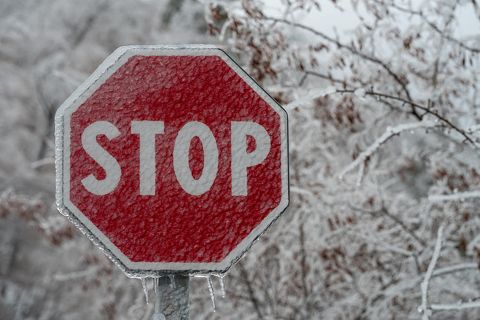
Winter Weather Preparation:
- Keep your cell phone charged and make sure you know where your backup power supply is.
- Make sure all your flashlights have fresh batteries.
- Fill your gas tank. You can use your car to keep warm and recharge devices.
- Have some food available that you don’t need to cook.
- Download the FREE Mobile App and receive local alerts, weather reports and more with push notifications.

Power Outages
Get up to information on power outages throughout Central New York; where it’s out and when it’ll be restored with National Grid’s Power Outage Map.
National Grid also offers text alerts on the latest efforts to restore power.
To receive free text message alerts and updates, text the word STORM to NGRID (64743). E-mail alerts are available to customers who create an online profile on the company’s website. All alert services can be started and stopped at the customer’s request.
You can even report power outages or get the latest information on National Grid’s website.
More From Big Frog 104