Winter Returns to Central New York with Snow Expected This Weekend
The National Weather Service has issued a Winter Storm Watch for Northern Oneida County, and a Hazardous Weather Outlook for the rest of Central New York as a storm system moves into the region.
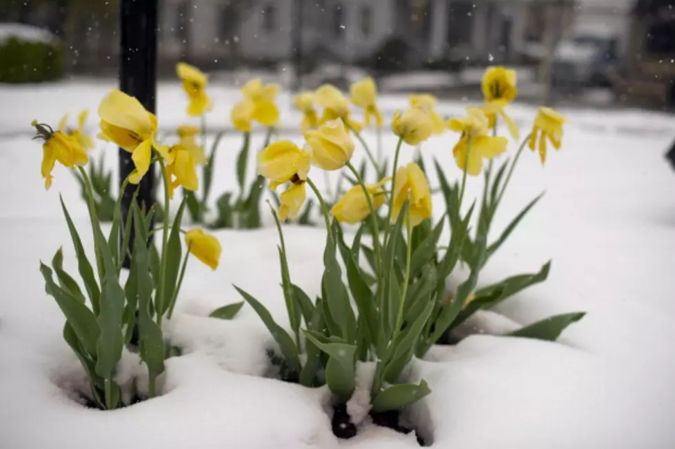
While most of Central New York experienced unseasonably warm temperatures just last week, winter is back with bitterly cold temps Friday morning and Saturday, and snow returning to the region this weekend.
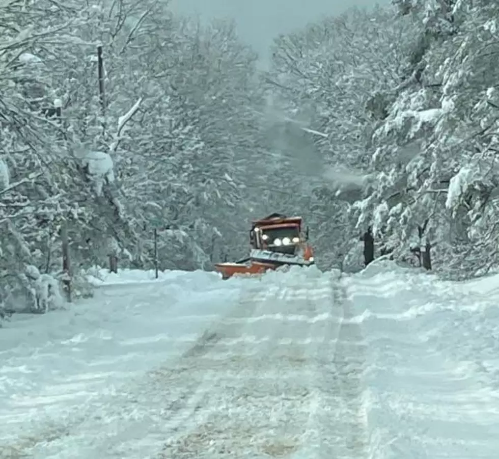
Forecasters from the National Weather Service say lake effect snow will impact our area, especially in Northern Oneida County, on Saturday and Sunday. Total accumulations could range from 6" up to 18" in Northern Oneida County. The forecast still has significant uncertainty.
Snow should begin in Oneida County between 12pm and 2pm on Saturday, and wrap up by Sunday evening.
According to the National Weather Service:
- A widespread moderate snowfall is expected area-wide Saturday and Saturday night.
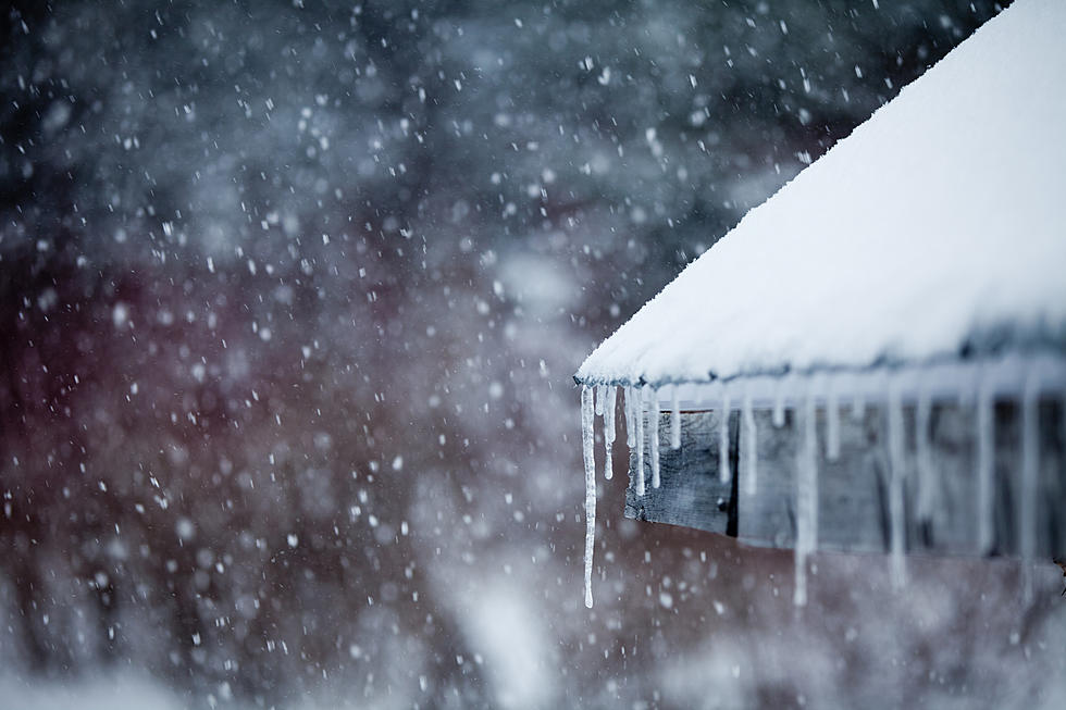
- The snow may mix with and change to freezing rain/freezing drizzle Saturday evening, mainly over the Finger Lakes.
- There still is uncertainty as to how much snow falls and where the heaviest snow occurs.
- Travel could become difficult across our area.
Winter Weather Preparation:
- Keep your cell phone charged and make sure you know where your backup power supply is.
- Make sure all your flashlights have fresh batteries.
- Fill your gas tank. You can use your car to keep warm and recharge devices.
- Have some food available that you don’t need to cook.
- Download the Big Frog 104 App. You’ll receive local alerts, weather reports and more with push notifications.
Power Outages
Get up to information on power outages throughout Central New York; where it’s out and when it’ll be restored with National Grid’s Power Outage Map.
National Grid also offers text alerts on the latest efforts to restore power.
To receive free text message alerts and updates, text the word STORM to NGRID (64743). E-mail alerts are available to customers who create an online profile on the company’s website. All alert services can be started and stopped at the customer’s request.
You can even report power outages or get the latest information on National Grid’s website.
Power Outage Preparation:

More From Big Frog 104