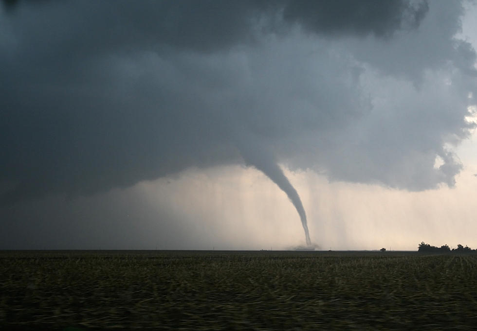
Tornado Watch Issued For CNY
The National Weather Service has issued a Tornado Watch in effect until 10PM for Central New York.
This watch includes 15 counties in Central New York: Broome, Chemung, Chenango, Cortland, Delaware, Madison, Oneida, Onondaga, Otsego, Schuyler, Seneca, Steuben Tioga, Tompkins, and Yates counties.
A LINE OF STRONG THUNDERSTORMS WILL AFFECT...ONEIDA...NORTHWESTERN MADISON AND NORTHEASTERN ONONDAGA COUNTIES UNTIL 430 PM EDT... AT 326 PM EDT, DOPPLER RADAR WAS TRACKING STRONG THUNDERSTORMS ALONG A LINE EXTENDING FROM NEAR REDFIELD TO NEAR PLAINVILLE. MOVEMENT WAS EAST AT 35 MPH. HALF INCH HAIL AND WIND GUSTS UP TO 50 MPH WILL BE POSSIBLE WITH THESE STORMS. LOCATIONS IMPACTED INCLUDE... CLAY, ROME, CICERO, ONEIDA, LENOX, LEE, VERONA, VIENNA, CANASTOTA AND TRENTON. PRECAUTIONARY/PREPAREDNESS ACTIONS... THESE STORMS MAY INTENSIFY"
We will keep you updated if anything changes.
Storms will be fast moving, but could produce heavy rainfall. The threat of flash-flooding is low, but can’t be ruled out either. Quarter size hail or larger is possible. The storms could produce localized power outages, structural damage, & downed trees.
KEEP READING: What to do after a tornado strikes
More From Big Frog 104