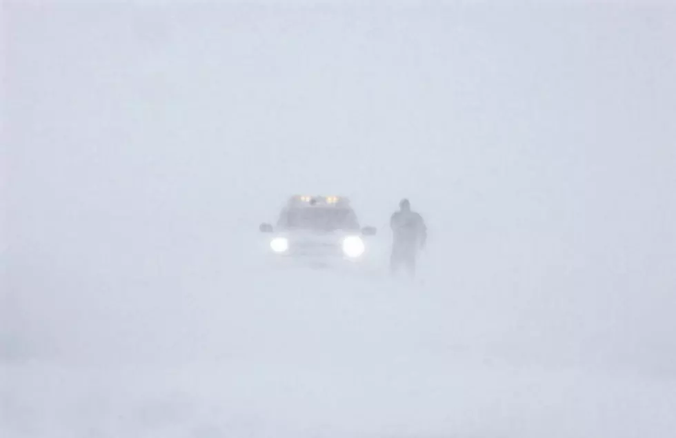
Winter Storm Warning Until 7 Tonight 2/05/14
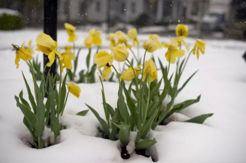
For those wishing for snow rather than sub-zero temperatures, your wish may be coming true. The National Weather Service has issued a Winter Storm Watch for late tonight through Wednesday. Up to 12 inches of snow is possible, click for details
...WINTER STORM WARNING REMAINS IN EFFECT UNTIL 7 PM EST THIS
EVENING...
* LOCATIONS...ONONDAGA...MADISON...AND ONEIDA COUNTIES.
* ACCUMULATIONS...8 TO 12 INCHES OF SNOW.
* TIMING...THE HEAVIEST SNOW WILL FALL THIS MORNING...AND PERHAPS
INTO THE EARLY AFTERNOON HOURS. THROUGH ABOUT 11 AM...BANDS OF
MORE INTENSE SNOWFALL WILL PRODUCE SNOWFALL RATES OF AS MUCH AS 1 TO 2 INCHES PER HOUR. THE GREATEST SNOWFALL TOTALS WILL BE
OVER THE HIGHER TERRAIN...MOSTLY SOUTH OF THE THRUWAY. SNOW
SHOULD BECOME LIGHTER DURING THE COURSE OF THE AFTERNOON... THEN TAPER OFF TO FLURRIES BY EARLY EVENING.
* TEMPERATURES...IN THE MID 20S.
* WINDS...NORTHEAST 5 TO 15 MPH...WITH GUSTS UP TO 25 MPH.
* IMPACTS...THE EARLY MORNING COMMUTE TO WORK AND SCHOOL TODAY
WILL BE VERY DIFFICULT. UNNECESSARY TRAVEL IS DISCOURAGED.
Following this Winter Storm is another event over the weekend that could bring an additional significant snowfall amount. Get the latest weather information anytime on our weather page.
More From Big Frog 104