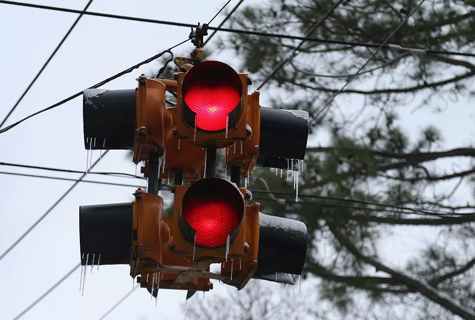
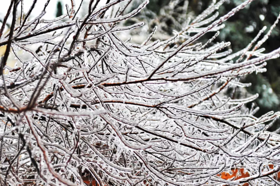
Mohawk Valley Ice Storm Was Not Expected
If you remember the Tuesday weather forecasts, they were calling for a couple of inches of snow which could briefly change to sleet, and then to rain on Tuesday night. But, as the snow changed to rain, the temperature didn't rise above freezing.
According to the National Weather Service in Binghamton, the warm air moved across New York State at a high altitude, but the colder air stayed near the surface. Forecasters had expected the warmer air to move at a much slower rate, thus producing snow. When the warm air moved over the Mohawk Valley, it caused rain to fall from the clouds while temperatures here on the ground were still in the low and mid 20's. We all saw the results of that. As soon as the rain hit surfaces, it froze almost instantly.
The combination of freezing rain and wind caused icy roads, sidewalks, trees and power lines. Many area power outages closed schools as well as some businesses. Some of us also spent extra time scraping the buildup of ice off our car's windshield.
More From Big Frog 104

![Stop the Heart Emoji Facebook Requests! It’s Annoying and Pointless [Opinion]](http://townsquare.media/site/39/files/2017/01/RS2194_154053443.jpg?w=980&q=75)